

| Total states commonly included | 12 (VA, NC, SC, GA, FL Panhandle, AL, MS, LA, TN, KY, AR, WV) |
| Longest scenic highway | Blue Ridge Parkway - 469 miles (National Park Service) |
| Hurricane season | June 1 - November 30 (National Hurricane Center) |
| Typical comfortable travel season | October - April (varies by elevation) |
| New Orleans to Nashville drive time | Approximately 7.5-8.5 hours (Route-dependent) |
How the South Divides Itself
The American South is not a single landscape or culture - it's a loose federation of sub-regions, each with its own terrain, food traditions, and travel rhythm. Before mapping a route, it helps to know which version of the South you're entering. For a broader framework before diving into regional specifics, see our first-timer's trip-planning roadmap.
| Total states commonly included | 12 (VA, NC, SC, GA, FL Panhandle, AL, MS, LA, TN, KY, AR, WV) |
| Longest scenic highway | Blue Ridge Parkway - 469 miles (National Park Service) |
| Hurricane season | June 1 - November 30 (National Hurricane Center) |
| Typical comfortable travel season | October - April (varies by elevation) |
| New Orleans to Nashville drive time | Approximately 7.5-8.5 hours (Route-dependent) |
Broadly, the South breaks into five geographic zones that shape what a road trip feels and costs: the Appalachian Highlands (western Virginia, North Carolina, Tennessee), the Piedmont and Coastal Plain (the Carolinas, Georgia), the Deep South (Alabama, Mississippi, Louisiana), the Gulf Coast (coastal Alabama, Mississippi, the Florida Panhandle), and the Upper South (Kentucky, Tennessee's central basin, Arkansas). Each has distinct driving conditions, seasonal considerations, and visitor expectations.
Sub-Region Snapshots: What Each Area Offers
Appalachian Highlands
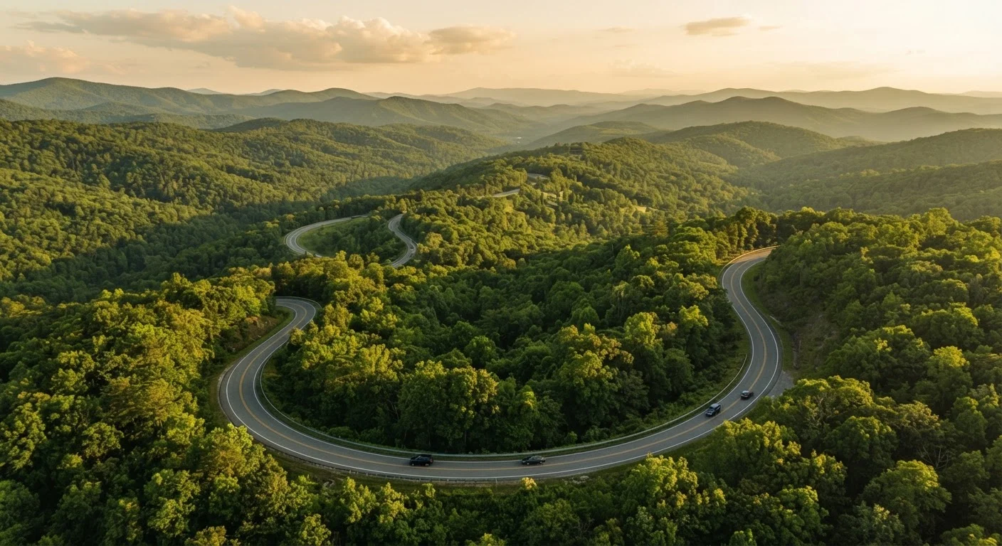
Western North Carolina and East Tennessee sit in some of the oldest mountain terrain in North America. The Blue Ridge Parkway - a 469-mile scenic road connecting Shenandoah to the Great Smoky Mountains - is the defining drive here. Towns like Asheville, NC and Johnson City, TN serve as practical bases. Expect cooler temperatures, winding roads, and significant elevation changes; check road conditions before driving in shoulder seasons (late October through early April).
Piedmont and Coastal Plain (Carolinas and Georgia)
This zone transitions from rolling red-clay hills to flat coastal marshland. Savannah, GA is among the most walkable historic cities in the country; Charleston, SC is similarly well-preserved. The coastal plain gives way to barrier islands - long, narrow strips of land between the mainland and the Atlantic - many of which require ferry crossings or limited-lane bridges. Roads here are mostly flat and fast, but summer heat and hurricane season (June-November) are real planning factors.
Deep South
Alabama, Mississippi, and Louisiana carry some of the most complex and consequential American history. Civil rights landmarks anchor a travel circuit through Birmingham, Selma, Montgomery, and Jackson. New Orleans stands apart as a destination unto itself - its French Quarter, music culture, and food scene (crawfish étouffée, beignets, po'boys) are genuinely distinctive. For a deeper look at the region's culinary identity, our article on regional BBQ traditions across America provides useful context. Roads are flat but rural routes between cities can be long and low-service - plan fuel stops.
Gulf Coast
The stretch from Pensacola, FL west to Biloxi, MS offers white-sand beaches, seafood shacks, and a more relaxed pace than Florida's Atlantic coast. This area is heavily hurricane-affected; infrastructure and lodging options shift noticeably between the barrier islands and mainland towns. It's a strong choice for travelers seeking beach access without the crowds of South Florida.
Upper South (Kentucky, Tennessee, Arkansas)
Nashville and Memphis anchor Tennessee's cultural corridor - country music, blues, and whiskey distilleries (the region around Lynchburg and Loretto is known as Tennessee Whiskey Country). Kentucky adds horse country around Lexington and limestone-filtered bourbon production in the Bluegrass region. Arkansas's Ozark Mountains offer hiking, river access, and a low-cost alternative to more developed mountain destinations.
Barrier island
A long, narrow strip of land separated from the mainland by a lagoon or sound. Common along the Carolinas and Georgia coast, they often require ferry or causeway access.
Blue Ridge Parkway
A 469-mile National Parkway running through Virginia and North Carolina along the Appalachian highlands. Managed by the National Park Service, it is one of the most-visited units in the system.
Piedmont
The plateau region between the Appalachian Mountains and the Atlantic Coastal Plain. In the South, it covers much of the Carolinas and Georgia, characterized by rolling terrain and red clay soil.
Bayou
A slow-moving body of water - a marshy outlet or tributary - common in Louisiana and coastal Mississippi. Bayou country defines much of Louisiana's geography and travel character.
Tennessee Whiskey Country
An informal term for the distillery-dense region of middle Tennessee, particularly around Lincoln and Moore counties, where several notable whiskey producers are based.
Shoulder season
The period between peak and off-peak travel times - typically spring and fall in the South - when weather is more moderate and crowds and prices tend to be lower.
Planning a Southern Road Trip Practically
A few honest considerations before you leave:
- Distance between highlights is real. New Orleans to Nashville is roughly 8 hours of driving. Build in buffer days or choose one sub-region per trip rather than rushing across all five.
- Heat and humidity are significant from May through September across most of the South. Many travelers find October through early April more comfortable for outdoor exploration, though the highlands can see frost and ice in winter.
- Cellular and fuel coverage thin out in rural Mississippi, Arkansas, and parts of Appalachia. Download offline maps before leaving urban areas.
- Accommodation costs vary sharply by city and season. New Orleans during Mardi Gras or Jazz Fest, Nashville during CMA Fest, and Asheville during fall foliage peak all see significant price surges. Our foundation guide to budget travel in America covers practical strategies for managing these cost swings.
Verify Entry and Safety Conditions Before You Go
Road conditions, park access, and local regulations can change without notice - particularly after storm events or during wildfire or flood seasons. Always check current conditions through official state DOT websites, the National Park Service, and your state's travel advisory resources before departing. Entry points to some barrier islands and parkways may close seasonally.
If you're weighing the South against other domestic road-trip regions, our overview of domestic destinations with strong value can help with the comparison. For a contrast in landscape and experience, the American Southwest's national parks offer a very different road-trip structure.
469 miles
Length of the Blue Ridge Parkway
According to the National Park Service, the Blue Ridge Parkway is one of the most visited units in the entire national park system.
12
States in the broader American South
Definitions vary by source, but most travel frameworks include 11-13 states spanning from Virginia to Louisiana.
June-November
Atlantic/Gulf hurricane season
The National Hurricane Center defines the official Atlantic hurricane season as June 1 through November 30, with peak activity typically in September.